Overhead Services
Aerial Services
The structures holding up the critical and complex network of electric and communications lines are a significant feature in every landscape across the globe. Wood utility poles can measure anywhere from 30 to 120 feet tall, while steel transmission structures start at 100 feet.
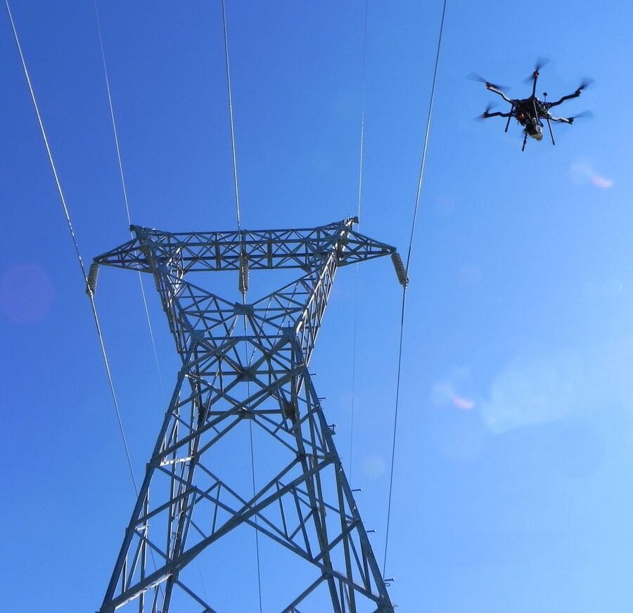
Without an effective above-grade assessment, many issues may go unnoticed leaving electric utilities with potentially serious reliability issues and costly unaddressed risk. Aerial assessments provide a safe and efficient way to access all structure types above grade, avoiding safety exposure of climbing and the expense of manned aircraft.
Osmose is a utility structure expert with 90 years of expertise. Our unique blend of cutting-edge technology, experienced personnel, and in-depth utility structure assessment knowledge sets us apart. Unlike a standard drone service provider, Osmose doesn’t just provide pictures; we provide actionable insights via our patented Unmanned Aerial Vehicle (UAV) inspection system designed for utility structures. Our comprehensive report and condition assessment points the way forward, a priceless asset to utilities facing complex decisions.
.jpg?width=508&height=286&name=DJI_0759_W-cropped%20(2).jpg)
%20(1)-2.jpg?width=508&height=286&name=Drone%20-%20Substation%20(2)%20(1)-2.jpg)
Speed
Osmose deploys technology that supports faster assessments, ultimately providing timely information to electric utilities.
Scale
Osmose visits millions of poles annually, confirming our ability to scale to any size project across the country.
Accuracy
Osmose applies the latest technology to deliver accuracy and quality required by pole owners.
Why Osmose Aerial Services?
- FAA-certified pilot and trained visual observers
perform safe and efficient flight operations - Provide full-structure health assessment,
including pole tops and crossarms - Assess critical components including bolts and
hardware, insulators, and damaged members - High-quality images of defects
- Identify reliability issues
- Includes infrared assessments of equipment to
identify hot spots - Are available to remote or inaccessible structures
(flooded areas, swamps, coastal locations) - Can be used for post-storm response support
and logistics - Can be combined with patrols with overhead
detailed assessments - Includes a comprehensive report and individual
structure condition assessment
When combined with groundline assessment programs, transmission, and distribution, aerial assessments provide a comprehensive evaluation of the structure and attached equipment’s condition.

Case Study
Aerial Services Ensure Reliability for Lebanon Utilities
With a population of a little less than 17,000, Lebanon is a small city. The cost of bringing energy reliability to its power loop threatened to escalate well into the millions. Fill out the form to discover how Osmose's technology, expertise, and the blend of aerial assessment service and groundline program provided actionable insights for the utility.
.jpg?width=300&height=390&name=Screenshot%202023-12-19%20121902%20(1).jpg)
Osmose Innovative Tools and Technologies
OsmoViewTM Virtual Expert
Osmose utilizes a proprietary virtual assessment application to review images, identify issues, and prioritize defects needing remediation. Housed within our Osmose 360® portal, customers have access to the aerial assessment findings in an easy-to use, central location..png)
.png)
Get a free, no-obligation consultation with an Osmose aerial services expert.

.png?width=243&name=Osmose-logo-(white).png)